
|
 |
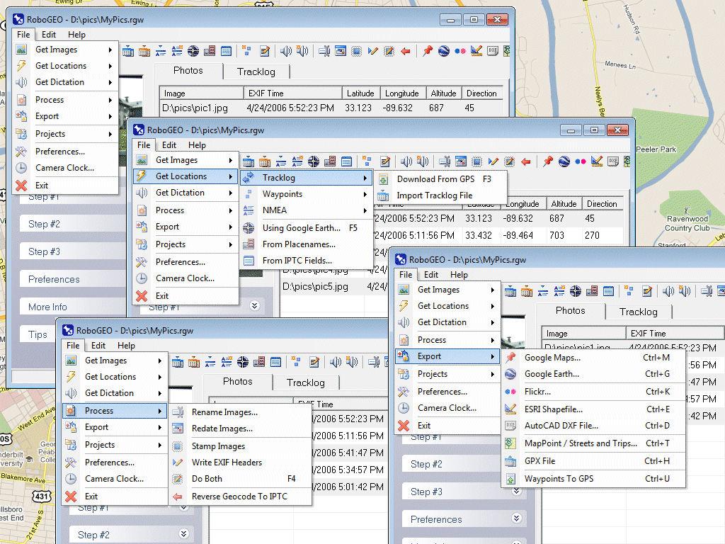
RoboGEO
|
 |
|
|
|
|
|
|
Версия: |
1.0 |
| Автор: | TimTech Computer |
| Лицензия: | Demo |
| Скачать |
Цена: | $22.95 |
Описание:
Georeference digital images with latitude, longitude, and altitude information. RoboGEO stamps this information onto the actual image and writes it to the JPG's EXIF headers, allowing you to permanently geocode and link the digital photo to the GPS coordinates. Now you can know WHERE a given photo was taken. RoboGEO works with any digital camera that produces EXIF format images (virtually all do) and includes direct support for Garmin GPS units, but no GPS is actually required. RoboGEO can import G7ToWin tracklog files for interfacing with other GPS makes and models. Very easy to use. Perfect tool for hikers, boaters, realestate agents, and geocaching. Low cost. Extensive on-line documentation.
Скриншот:
|
|
|
|
|
|
|
|
 |
Афоризм
|
 |
|
|
|
Я - пессимист по своим наблюдениям, но оптимист по своим действиям.
А. Грамши
|
|
|
|
|
Анекдот
|
|
|
|
|
Рабинович переходит границу. Вдруг он видит, что его засекл
советские пограничники, замечает собачьи экскременты и,
присаживаясь, притворяется справляющим большую нужду.
пограничники подходят.
- это ведь собачье! - говорит один.
- а вы разве дадите сходить по-человечески?
|
|
|
|
|
Прикол
|
|
|
|
|
Начальник может быть непосредственным или посредственным.
|
|
|
|
|
|